Geographical Portal Application
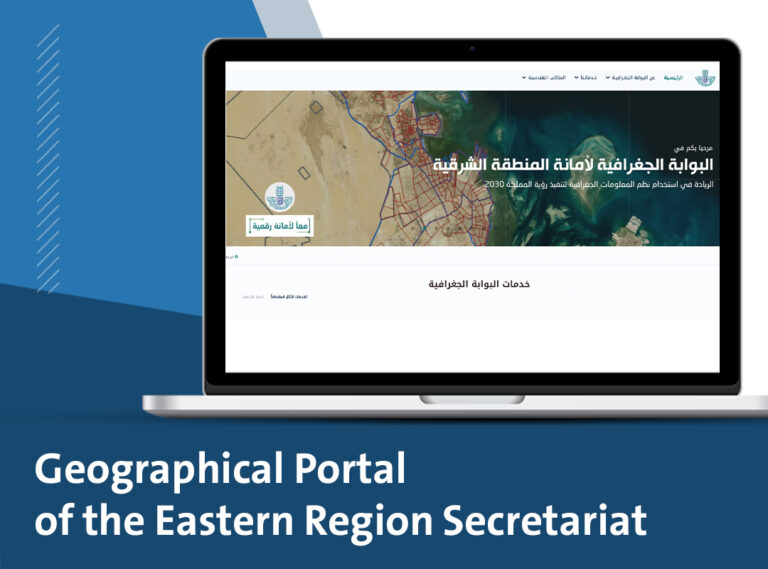
Project Overview
The Geographic Information System (GIS) modernization and development project at the Eastern Province Municipality aims to update and enhance a GIS system based on an integrated Enterprise-wide GIS methodology. This system will operate on the global and local networks to provide spatial information to all departments, divisions, sub-municipalities, government agencies, service providers, and engineering offices. The municipality will serve as the primary source of spatial data for the Eastern Province.
Additionally, the project seeks to develop applications consistent with the e-Government concept, empowering the municipality to efficiently carry out daily tasks, planning, operation, maintenance, and development. This will facilitate communication and interaction between citizens and the municipality, thereby improving the efficiency of service delivery to citizens and expediting transaction processing.
The Process
We worked on the project to be connected to the World Wide Web and local networks to provide spatial information to all departments, sections, sub-municipalities, government and service agencies, and engineering offices, so that the Secretariat would be the primary source of spatial data in the Eastern Region and develop applications that operate according to the concept of e-Government, which would enable the Secretariat to perform its daily tasks and carry out planning, operation, maintenance, and development tasks with high efficiency to facilitate communication and interaction between the citizen and the Secretariat, which would raise the efficiency of providing services to citizens and speed up the completion of transactions.