Geographic Explorer App
Project Overview
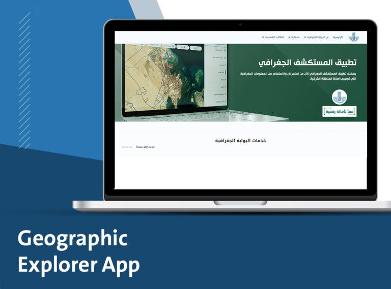
An application that allows beneficiaries to access geographic data, view and explore maps, follow up on transactions according to permissions, and display data instantly.
The application helps beneficiaries to easily search for available services, search by coordinates, easily view services around the current location, and a general search for plots of land, streets, neighborhoods, plans, etc., easily follow up on changes that occur to the user's favorite locations (spatial or descriptive), easily send map requests and extract data through the application, helps users to follow up on transactions and know their status instantly, work routing through the application and link with Google Maps with ease and simplicity, record suggestions and complaints.