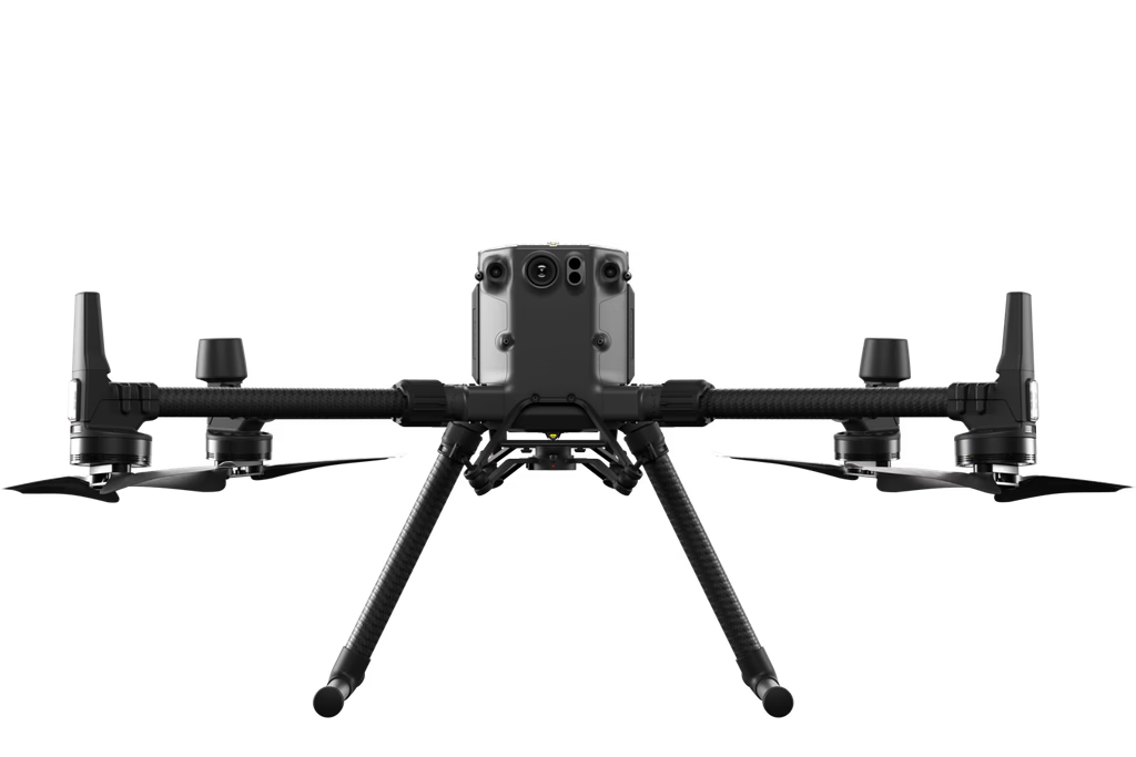
Matrice 300
Payload Options
Services
Pivots Inspection
Drones can be used to inspect agricultural pivots in a number of ways, including visual inspection with cameras that can be used to take high-resolution images of pivots. These images can then be used to visually inspect the pivots for signs of wear, damage, or corrosion. Thermal imaging that can be used to detect heat signatures. This can be used for identifying overheating components that may be indicative of problems and which allows the drone to create three-dimensional models of pivots. This can be useful for identifying areas of stress or damage that may not be visible from the ground.
DSM Digital Surface Modeling
DSM, or a Digital Surface Model, is a three-dimensional representation of the Earth's surface that includes all objects on it, such as trees, buildings, and vegetation. It is created by taking aerial photographs or LiDAR (light detection and ranging) data and processing it using photogrammetry software. DSMs are a powerful tool that can be used to observe the ground leveling.
Soil Substance
The data that is collected by drones can be used to create maps of soil substances. These maps can be used by farmers to make informed decisions about crop production, such as where to plant certain crops or how much fertilizer to apply. The maps can also be used by researchers to study soil quality and to develop new ways to improve soil health.
Plantation Evaluation
Plantation evaluation is the process of assessing the growth, vitality, and health of the new plantation. It is important to evaluate plantations early and regularly in order to identify and address any potential problems.
Moisture Map
Moisture mapping showing the percentage of the water in the soil. It works to optimize usage of water (especially in the area that is suffering from insufficient water) and to detect the areas that are not receiving enough water (to be treated).
Crop Health Monitoring
The data that is collected by drones using multispectral cameras can be used to create maps of crop health showing the gaps inside the farms, stem and areas, disease and damaged areas. The map uses the green color to represent the healthy plants, brown or yellow for the stressed plants and red for the damaged plants. These maps can be used by farm consultancy to make informed decisions about crop production improvement, such as how much fertilizer to apply and which area needs to be recultivated.
Weeds Detection
The data that is collected by drones (using multispectral cameras) can be used to create maps of weed detection. These maps can be used by farmers to help them make decisions about weed control, such as where to apply herbicides or how often to mow. The maps can also be used by researchers to study weed ecology and to develop new ways to control weeds.
Leakage Detection
Drones can be used to detect leaks from pipelines, tanks, canals, and underground. The type of sensor that is used will depend on the specific application. For example, thermal imaging is often used to identify leaks in pipes or tanks, while multispectral imaging is often used to identify leaks in the ground and GPR (Ground-penetrating radar) sensors can be used to detect underground leaks.
Geographical Database
A Geographic database can be established by continuous monitoring of crop health, DSM and moisture map every two weeks. This helps to improve the productivity of the farm.
Farm Security
The way represents a form of remote attached animals and humans. The service focuses on identifying wild animals (with AI) using thermal cameras (at night) in addition, spotting loss of cattle/sheep can be integrated in the drone to increase overall safety.
Number Of Trees
Drones able to accurately calculate the numbers of trees in any area. In addition to counting trees, drones can also be used to measure the height and volume of trees, assess the health of trees, and map the distribution of trees in an area. Drones are a powerful tool for tree/tree line management and can help us to better understand and protect our sanctuaries.
Animals Monitoring
Drones are a cost-effective choice for monitoring by using a combination of visual and thermal cameras to keep a count of using drones to communicate with animals and allows users to monitor. Also it is a way to direct animals to the desired grazing area. The sound from the drone emits a sound forcing the animals in a certain pattern. Drones can be used to direct animals by using a combination of noise and light. This can be more effective than using physical barriers alone.
Harvest Evaluation
In this service the drone gathering the data then super computers generate 3D maps to calculate the volume then the density of the crop to estimate the weight of the harvested crop in tons. This estimation is very useful for the farm manager in taking decisions.