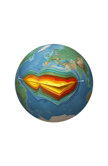
GIS Service
Mapping Your World for Informed Decision-Making
At Syad, we empower government agencies to better understand and manage their assets and resources through advanced Geographic Information Systems (GIS). Our GIS solutions are designed to provide a holistic view of geographic data, enabling more informed and strategic decision-making. By leveraging state-of-the-art mapping and spatial analysis techniques, we help optimize resource allocation, enhance service delivery, and improve overall operational efficiency. Our GIS services include:
Precision Mapping
We employ the latest technologies for accurate data, ensuring maps are precise.
Inventory & Management
Keep track of your assets with our comprehensive inventory solutions.
Valuation & Assessment
Utilize spatial data to perform detailed property valuations and assessments.

Trends Analysis
Identify key trends and patterns through in-depth spatial analysis.
Data Integration
Seamlessly integrate geographic data with your existing systems.
GIS solutions
We transform raw geographic data into actionable insights.
