KPI Measurement Application
Product Overview:
A set of tools that measure users’ analytical requirements on both geographic and descriptive data available in the unified geographic database and display them in a set of automated analyses to measure them and assist decision makers through dashboards and statistics for all applications so that decision makers can review business and follow up on transactions made through the system and everything related to users and their categories and the durations of completing each transaction and monitoring delays in the easiest way of display, as all of this is done through graphic panels with detailed and clear statistics supported by numbers and percentages, with the possibility of exporting them in the form of electronic files, for example, Word, Excel or PDF.
Product Features:
The project encompasses the following applications:
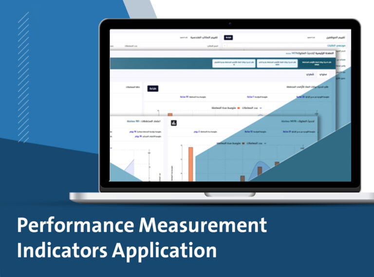
Dashboard: A centralized dashboard provides real-time performance indicators, eliminating the need for time-consuming report reading. This enables quick identification of issues and accountability.
Contract Management: Detailed recording of contract information, including number, name, value, signing date, consultant, contractor, and status.
Project Tracking: Monitoring of project activities against the contractual timeline, allowing for real-time tracking of progress and adherence to the schedule.
Geolocation: Pinpointing project locations on Google Maps for visual tracking of progress.
Field Visit Verification: Utilizing GPS technology to verify field visits by technical inspectors.
Real-time Communication: SMS-based communication with consultants and contractors.
Mobile Data Collection: Using PDA devices for daily field inspections and note-taking.
Quantity Tracking: Recording of completed and received quantities, reviewing contractor submissions against the bill of quantities, and noting detailed observations.
Project Categorization: Classifying projects on Google Maps based on location, type, or status.
In essence, this system provides a comprehensive solution for project management by:
- Improving efficiency through automation and real-time data.
- Enhancing collaboration among project stakeholders.
- Providing decision-makers with accurate and timely information.
- Supporting strategic planning and continuous improvement.
By leveraging technology, this system addresses common challenges in project management, such as:
- Delayed decision-making due to lack of real-time data
- Inefficient communication between stakeholders
- Difficulty in tracking project progress
- Inaccurate reporting and analysis
Here are the entities that have implemented the system: Riyadh Municipality Agency: Covering 47 municipalities within the Riyadh region. Municipalities of Hafr Al-Batin and Jubail. Egyptian Armed Forces Engineering Authority. Overall, this system aims to optimize project execution and ensure successful outcomes.